
Wednesday Sunny |
Thursday Sunny |
Friday Sunny |
Saturday Sunny |
Sunday Sunny |
Monday Sunny |
Tuesday Sunny |
|
| High: 82 °F | High: 83 °F | High: 83 °F | High: 83 °F | High: 82 °F | High: 82 °F | High: 81 °F | |
Tonight Clear |
Wednesday Night Clear |
Thursday Night Clear |
Friday Night Clear |
Saturday Night Clear |
Sunday Night  Mostly Clear |
Monday Night Clear |
|
| Low: 42 °F | Low: 44 °F | Low: 45 °F | Low: 47 °F | Low: 46 °F | Low: 46 °F | Low: 46 °F | |
Ben's WX Summary
- Updated: Tuesday @ 07:56am
A trough swinging inland to our north today will generate gusty west winds and keep temperatures near normal for another day or two. Stronger high pressure will strengthen over the area through the end of the week, leading to warmer, summer-like weather. Mostly sunny skies today with highs in the mid-70s, southwest winds 10-20 mph during the afternoon. Fair and gradually warmer through the middle of the week as highs reach the lower to mid-80s, with overnight lows generally cool to the 40s. West winds will continue 5-15 mph during the afternoon with occasional gusts near 20 mph at times. Temperatures will remain above normal through the weekend with a few afternoon clouds, and monsoon moisture creeps into the Desert Southwest, but thunderstorm chances look minimal at this time across our area. Another trough will bring some cooling next week as our forecast stays dry.
| Current Conditions | Wind | Rain | Outlook | ||||||||||||||||||||||||||||||||||||
|
|
|
|
||||||||||||||||||||||||||||||||||||
| Humidity & Barometer | Snowfall | Moon | |||||||||||||||||||||||||||||||||||||
|
|
|
|||||||||||||||||||||||||||||||||||||
| UV Index | Solar Radiation | ||||||||||||||||||||||||||||||||||||||
|
|
||||||||||||||||||||||||||||||||||||||


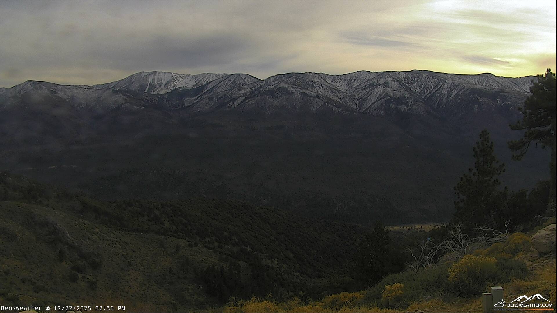
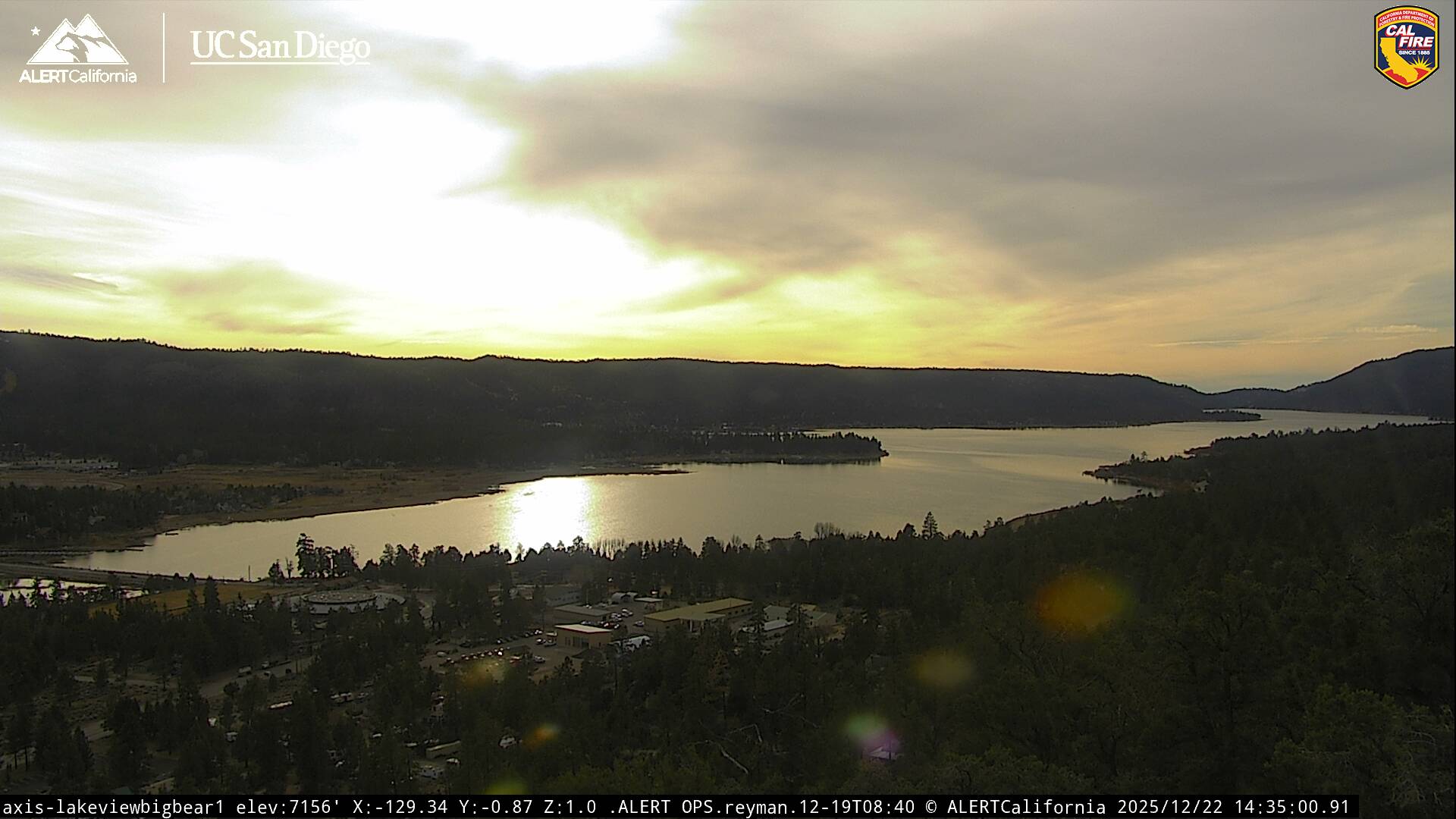
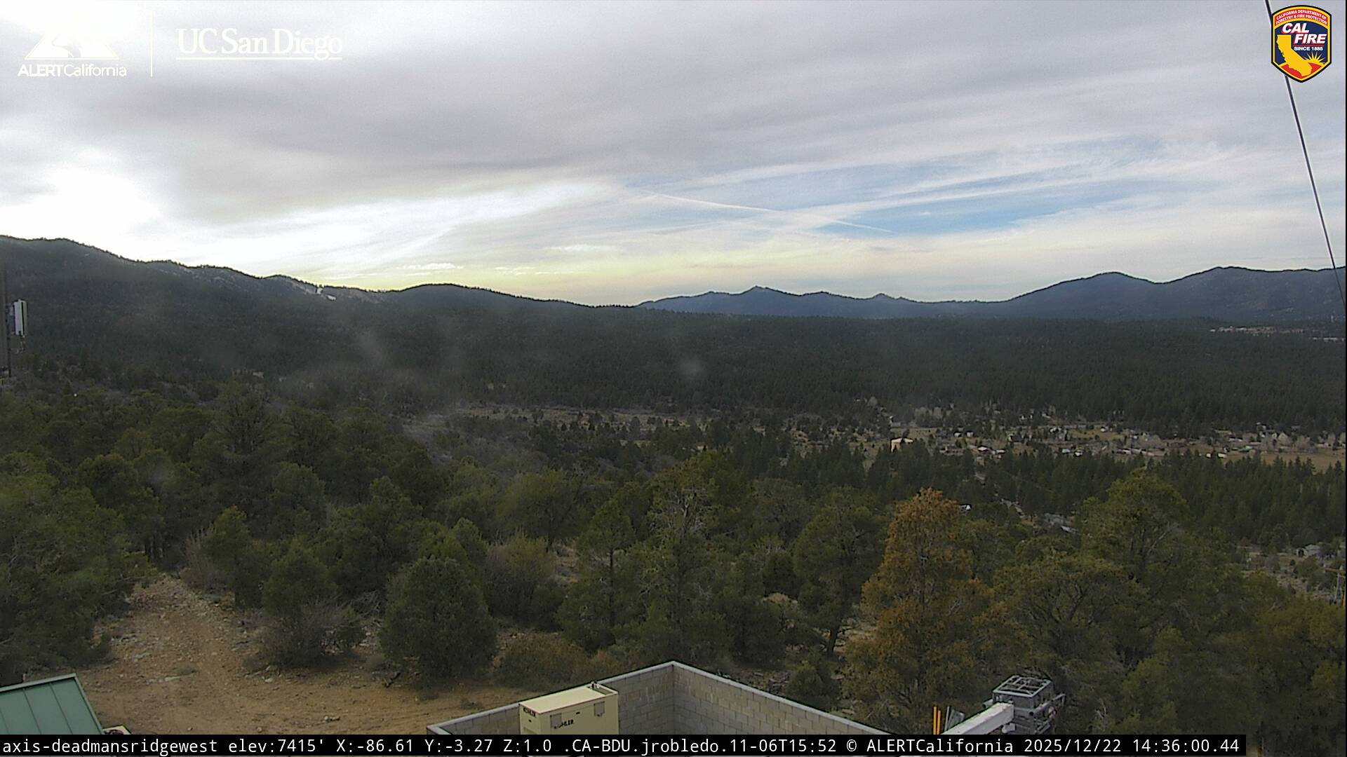
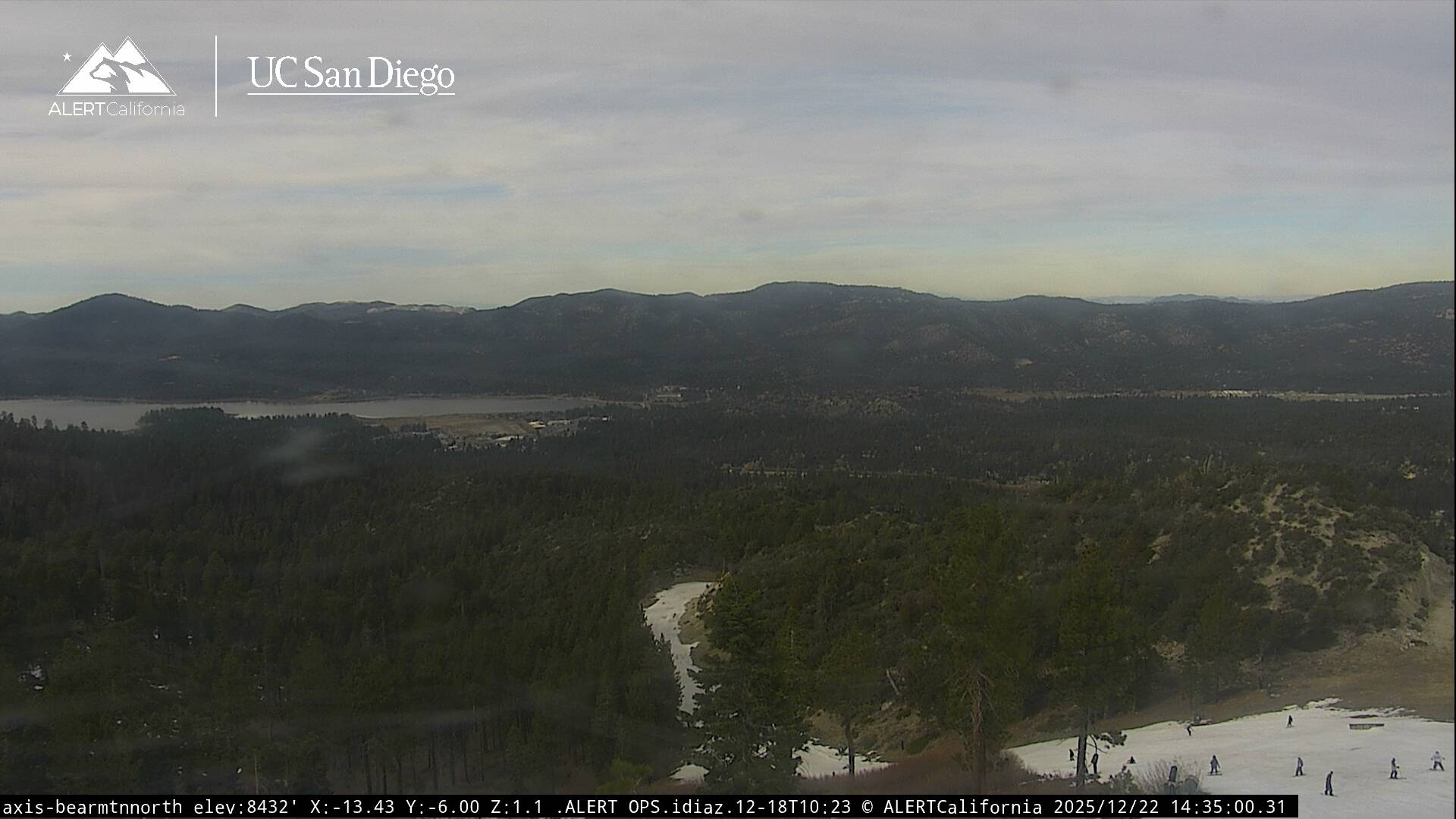
Live Cams